Hiking Trails
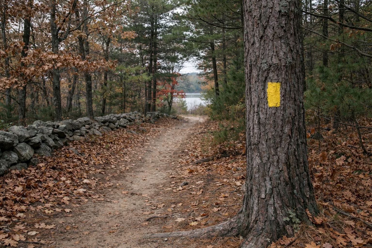
The main hike at Burlingame State Park is the John Vincent Gormley Trail, which RI DEM puts at nearly 8 miles around Watchaug Pond, through the park and the Kimball Wildlife Refuge. Follow the bright yellow markers kept up by the Narragansett chapter of the Appalachian Mountain Club. Leashed dogs are welcome. Part of the loop crosses the Burlingame Management Area, where hunting is allowed, so wear blaze orange in hunting season.
Trails at a Glance
John Vincent Gormley Trail
DEM describes the Gormley Trail as the way to explore around the outside of Watchaug Pond. At nearly 8 miles, it is a full morning or afternoon on foot. It runs through Burlingame State Park and the Kimball Wildlife Refuge, and it is marked with bright yellow blazes maintained by the Narragansett chapter of the Appalachian Mountain Club.
Three things to know before you start:
- It is not all woodland path. DEM notes the trail follows the roadway in some areas. Walk facing traffic on those stretches and keep children and dogs close.
- It crosses hunting land. Part of the loop goes through the Burlingame Management Area, which allows hunting. Learn the hunting seasons and DEM's blaze orange clothing rules before you go in fall and early winter.
- Dogs are welcome on a leash. DEM says on-leash dogs are welcome on the Gormley Trail. State rules cap a leash at six feet. Remember that dogs are banned from the picnic area itself from April 1 to September 30.
Where to start: the day-use picnic area on Sanctuary Road is the easiest public trailhead, since it is open to the public and has restrooms in season (directions). Campers can pick up the trail from inside the campground, which DEM says has hiking trails of its own.
Good For
- A long walk around a big freshwater pond
- Birding in spring and fall migration
- Leashed-dog walks outside the picnic area's April–September ban
Maybe Skip If
- You want a short stroll: try the half-mile Ocean View Trail at the wildlife refuge instead (Ninigret refuge)
- You will be in the woods during a hunting season without blaze orange
Kimball Wildlife Refuge
The Kimball Wildlife Sanctuary was created by the Audubon Society in 1927, and DEM's history says its creation is what led the state to start buying the woods around Watchaug Pond. DEM's park page calls it the Kimball Wildlife Refuge and says the Gormley Trail passes through it; DEM's campground page calls it the Kimball Wildlife Sanctuary and says the campground borders it. The U.S. Fish and Wildlife Service's Watchaug Pond Trail runs along it too, and USFWS says that trail is a favourite with birders.
Burlingame Management Area and Hunting
North of the campground, DEM's history says the area north of Buckeye Brook Road, out to the Pawcatuck River, is primarily a hunting area. This is the Burlingame Management Area, which DEM's campground page lists as bordering the campground. The Gormley Trail crosses part of it.
If you hike here in hunting season:
- Wear blaze orange, following DEM's requirements for the season.
- Stay on the marked trail.
- Keep dogs leashed and visible.
DEM's online hunting and management area atlas shows the boundaries.
Trails From the Wildlife Refuge
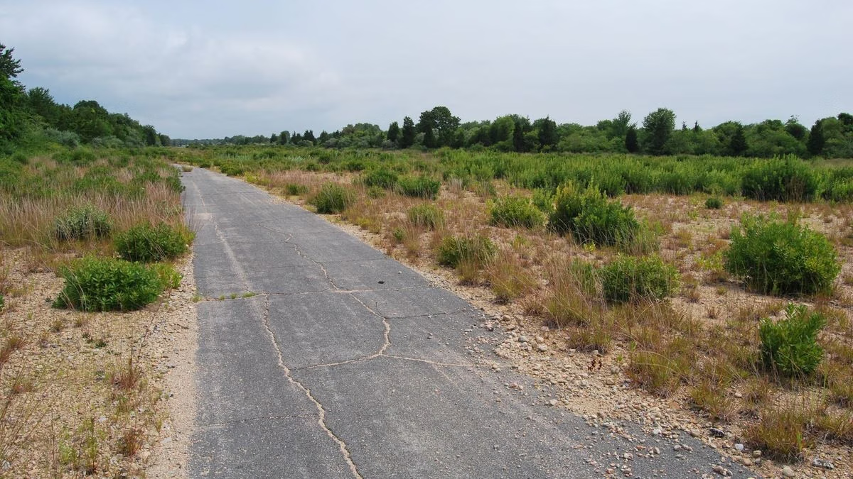
Ninigret National Wildlife Refuge, run by the U.S. Fish and Wildlife Service, sits south of the pond along Route 1. At its headquarters unit, around the Kettle Pond Visitor Center, two trails leave the parking area and two more connect to Burlingame State Park and the Kimball sanctuary. The Watchaug Pond Trail reaches the shore about half a mile from the visitor center. USFWS says the trail runs along the Kimball sanctuary, Watchaug Pond, "one of the best vernal pools in the State," and Burlingame State Park.
The refuge's rules are stricter than the park's: trails are open sunrise to sunset, bikes are not allowed, and leashed dogs are allowed only on the Kettle Pond Visitor Center trails (not the Toupoysett Pond Trail). Full details: Ninigret National Wildlife Refuge.
Who Built the Trails
From 1933 the Civilian Conservation Corps' 141st Company, based at Burlingame, put young men to work building roads and trails here, along with fireplaces, campsites and picnic areas. The CCC also did forest management work, especially after the Hurricane of 1938 knocked down thousands of trees. Read more on the history page.
Wildlife on the Trail
DEM lists white-tailed deer, red fox, river otter, mink and raccoon among Burlingame's mammals, and as many as 80 nesting bird species, including scarlet tanagers, ovenbirds, hermit thrushes and great horned owls. In winter, look over Watchaug Pond for bald eagles. Box turtles, spotted salamanders and spring peepers live here too, so watch your step on wet spring evenings.
Trail Safety
- Carry water for a loop this long.
- Check for ticks after walking through brush.
- Be out by sunset, when state parks close.
- Bring a map. The campground and trail map page lists the official maps you can download.
Hiking Trails FAQ
How long is the trail around Watchaug Pond?
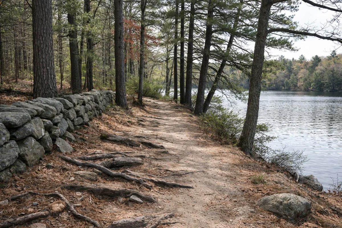
The John Vincent Gormley Trail is nearly 8 miles, according to RI DEM. It loops around Watchaug Pond through Burlingame State Park and the Kimball Wildlife Refuge on bright yellow markers.
Are dogs allowed on the Burlingame trails?
Yes, on a leash. DEM says on-leash dogs are welcome on the Gormley Trail. Dogs are banned from the picnic area itself from April 1 to September 30, and the nearby wildlife refuge allows them only on its Kettle Pond trails.
Is there hunting at Burlingame State Park?
Hunting is allowed in the Burlingame Management Area, which the Gormley Trail passes through. DEM asks visitors to know the hunting seasons and follow blaze orange clothing rules.
Who maintains the Gormley Trail?
DEM says the trail's bright yellow markers are maintained by the Narragansett chapter of the Appalachian Mountain Club.