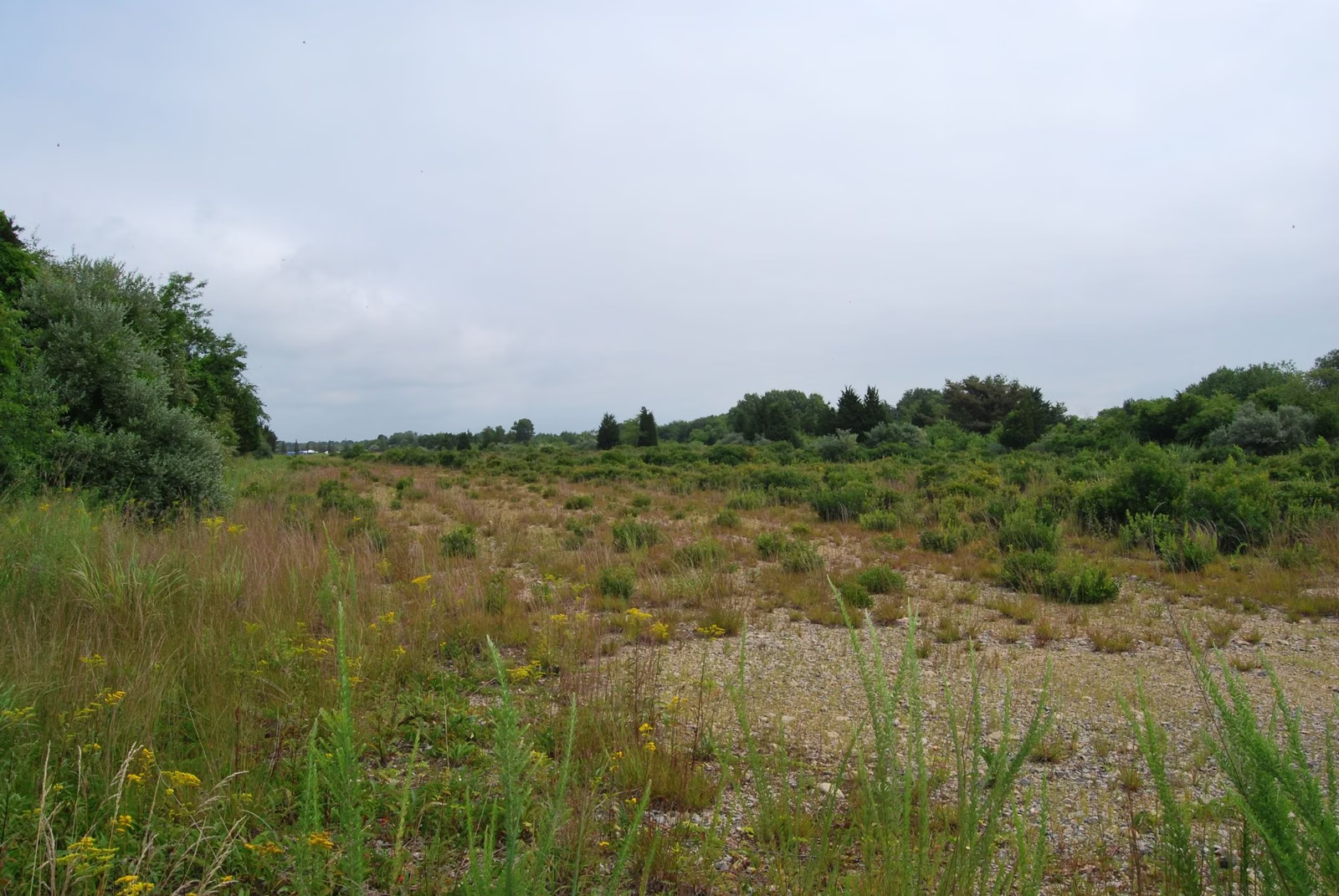
Campground & Trail Map
The official Burlingame State Park maps come from RI DEM and the U.S. Fish and Wildlife Service. DEM publishes an interactive campsite map and a 2026 construction map that shows which sites are open. USFWS publishes a "Watchaug Pond Trail and BSP Trails" map. This page explains the layout in plain words: the campground areas, the picnic area on Sanctuary Road, and the nearly 8-mile Gormley Trail around Watchaug Pond.
Maps at a Glance
The Official Maps
Interactive campsite map (RI DEM). DEM's campground description page links to an interactive map of every campsite at Burlingame, built on the state's ArcGIS system. Zoom in to see site numbers and which loop each site is on, then match the number on Reserve America.
2026 construction site map (RI DEM). DEM's restroom project page has a map, updated June 2026, of the campsites open and closed during Phase 2 of the construction. DEM calls it "VERY IMPORTANT" to review it when booking, because some open sites are next to work zones and may get more noise and traffic. DEM also posts a campsite list at riparks.ri.gov/burlingame-campsites.
Watchaug Pond trail map (USFWS). The Ninigret National Wildlife Refuge visit page lists a PDF called "Watchaug Pond Trail and BSP Trails," plus Kettle Pond and Salt Pond trail maps for the refuge itself. The Watchaug PDF holds two maps: the Audubon Society's Kimball Wildlife Sanctuary trails, and the Gormley Trail (labelled "The Yellow Trail"), which it says may be followed in either direction.
Hunting areas (RI DEM). DEM's online hunting and management area atlas shows the Burlingame Management Area boundaries.
How the Park Is Laid Out
Burlingame wraps around Watchaug Pond, just north of Route 1 in Charlestown. In plain terms:
- The campground is one big block on the pond, entered at 1 Burlingame State Park Road. It holds about 700 sites and 20 cabins.
- The picnic area is the day-use side, on Sanctuary Road off Prosser Trail. Its beach, tables and pavilion face the pond.
- The boat ramp is further along Sanctuary Road, past the picnic area where the road turns to dirt.
- The Kimball Wildlife Refuge borders the campground.
- The Burlingame Management Area, mostly north of Buckeye Brook Road out to the Pawcatuck River, is the hunting land.
- Ninigret National Wildlife Refuge's Kettle Pond unit is to the south, with trails that link into the park.
Campground Areas
DEM's restroom project names six areas of the campground, each with its own shower and restroom building:
- Main Camp (tent camping only)
- Midpark North
- Midpark South
- Fish Camp
- Mills Camp
- Legiontown
Legiontown's name goes back to the years 1946 to 1961, when part of the park was an American Legion youth summer camp called "Legion Town" that reused the old CCC buildings (history).
In 2026, Mills Camp, Midpark North and Fish Camp had their new restroom buildings open, while Legiontown, Midpark South and Main Camp were under construction. DEM expects all six to be done by April 2027. Sites near Main Camp, Midpark South and Legiontown are the ones most likely to be affected until then. The campground beach was closed for 2026 because it is inside the Main Camp work area.
Where the camp store, playground, nature center and office sit is best checked on DEM's interactive map; DEM notes the nature center is next to the playground.
The Gormley Trail on the Map
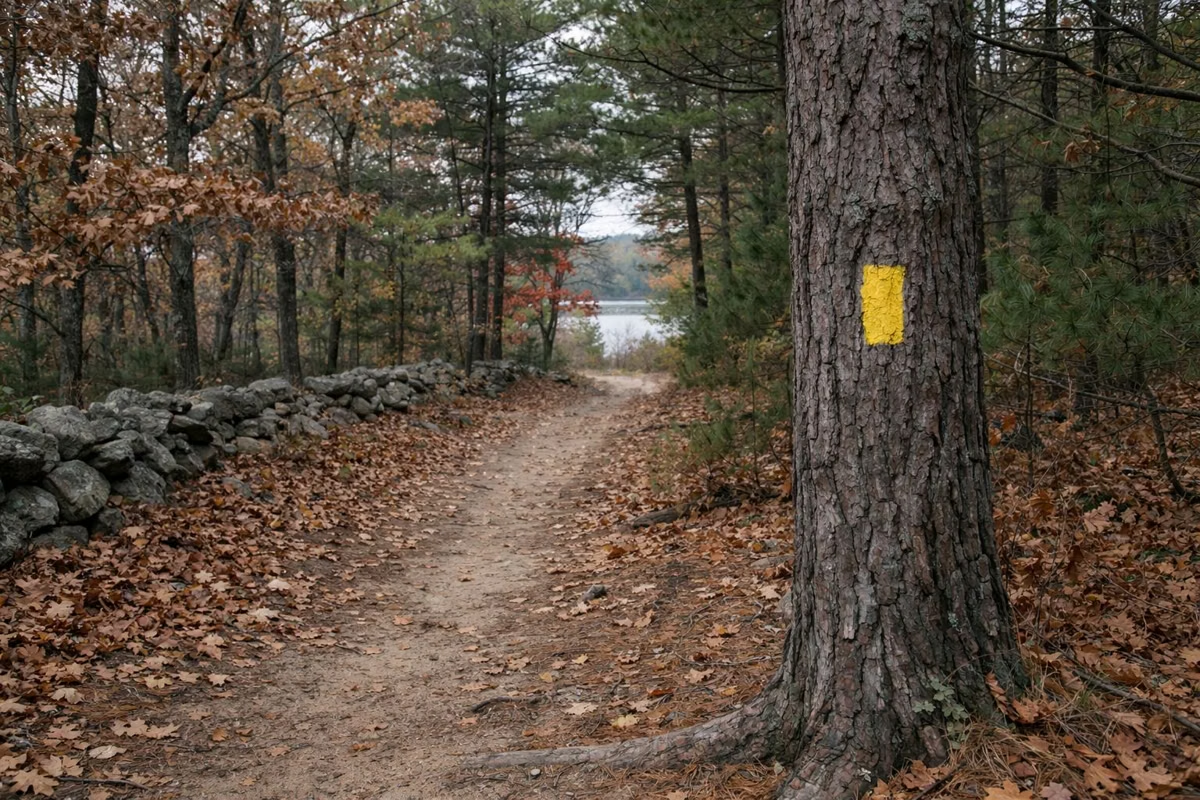
The John Vincent Gormley Trail circles Watchaug Pond for nearly 8 miles on bright yellow markers. On a map, picture a loop that leaves the pond shore in places to follow roads, crosses part of the Management Area, and passes through Kimball. The easiest public start is the picnic area. Details and safety notes: hiking trails.
Picnic Area and Boat Ramp Directions
From Route 1, take the exit for Burlingame State Park and Picnic Area (Prosser Trail), turn left on Sanctuary Road, and follow the signs. The ramp is on the right past the picnic area. See parking and directions.
Using the Maps on Your Phone
Download the PDFs before you go, because the interactive map needs a data connection. A screenshot of your site's location on the DEM map saves a lot of driving around the loops at night.
Campground & Trail Map FAQ
Is there a map of Burlingame Campground?
Yes. RI DEM links an interactive campsite map from its campground description page, and posts a 2026 construction site map showing which sites are open. Check both before you book.
What are the areas of Burlingame Campground called?
DEM's restroom project names six: Main Camp (tents only), Midpark North, Midpark South, Fish Camp, Mills Camp and Legiontown.
Is there a trail map for Burlingame State Park?
The U.S. Fish and Wildlife Service publishes a "Watchaug Pond Trail and BSP Trails" PDF on its Ninigret refuge page. The Gormley Trail is marked with bright yellow blazes.